Old photographs and maps of Trunch
In May 2016 Dr. Neville Lee mounted another of his photographic exhibitions in the church. The photographs were fascinating with very informative captions. The church was full of people looking for photographs of themselves, their relatives or ancestors or just interested in how the village has changed. For me, it was amazing to put faces to many people mentioned on this site in print only. The photographs ranged from 19th. Century portraits of members of wealthy families up to 2009 and the formation of the village composting scheme.
One interesting section was of buildings that have been demolished since the photographs were taken. They included barns in Brewery Road, cottages around the church and in Chapel Road, a wooden shop in Back Street run by Harry Burton in 1934, Wegg's butcher's shop in Front Street, a wooden house called Redtops in Brick Kiln Lane and Trunch House in Chapel Road.
Many of the photographs related to farming and it was interesting to see how the number of women engaged in farming increased after WW2. A number of the photographs were taken at social events and they have encouraged me to set up a page about pastimes on this site. I was also interested in the number of 19th Century family names that carried on well into the 20th. Century
Click here for some photographs from Historic England Most of them are of the church but there are a few of houses and the tithe barn.
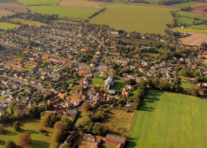
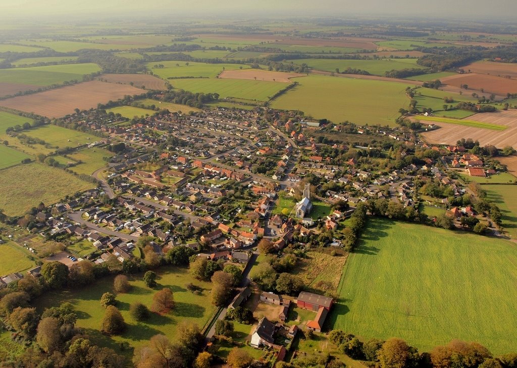
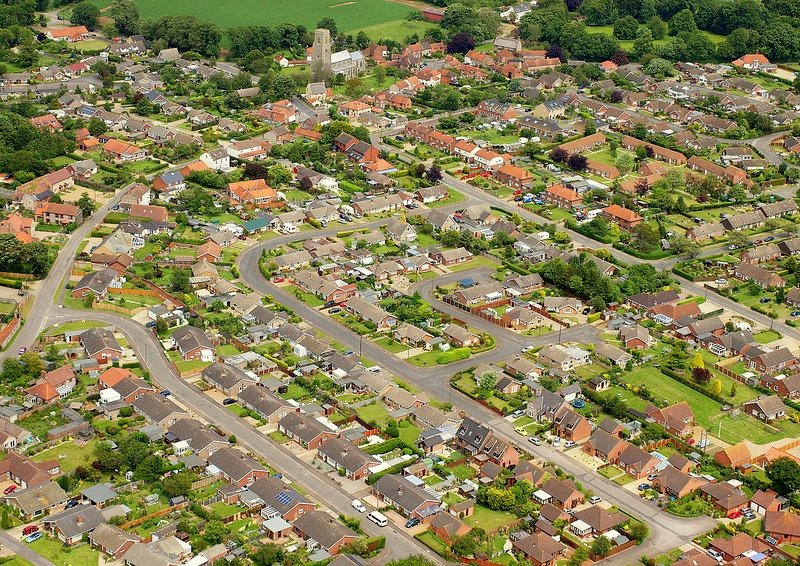
Here are some general views of Trunch - for individual buildings - see the buildings pages. Most of these can be enlarged by clicking on them. See below for some websites for old maps of Trunch.
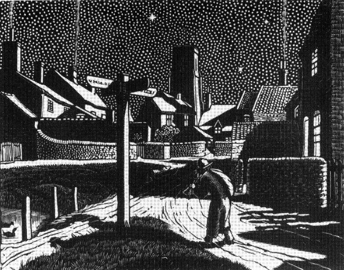
An old engraving of the village centre
|
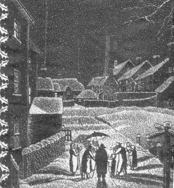
Another engraving
|
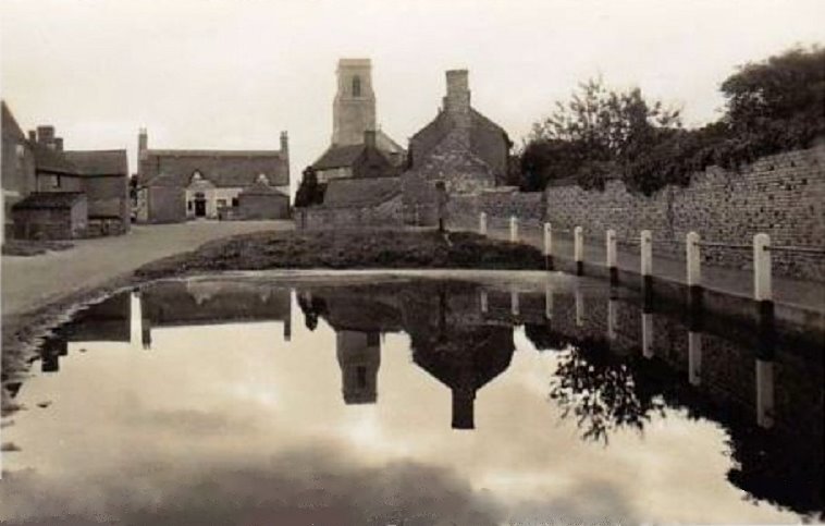
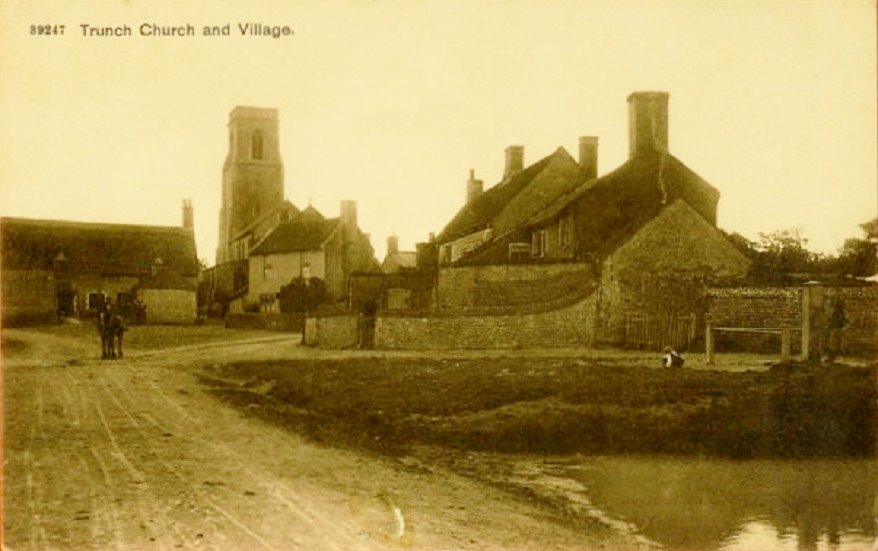
Old village pond on the Hill
|
Similar view towards the old thatched Crown
|
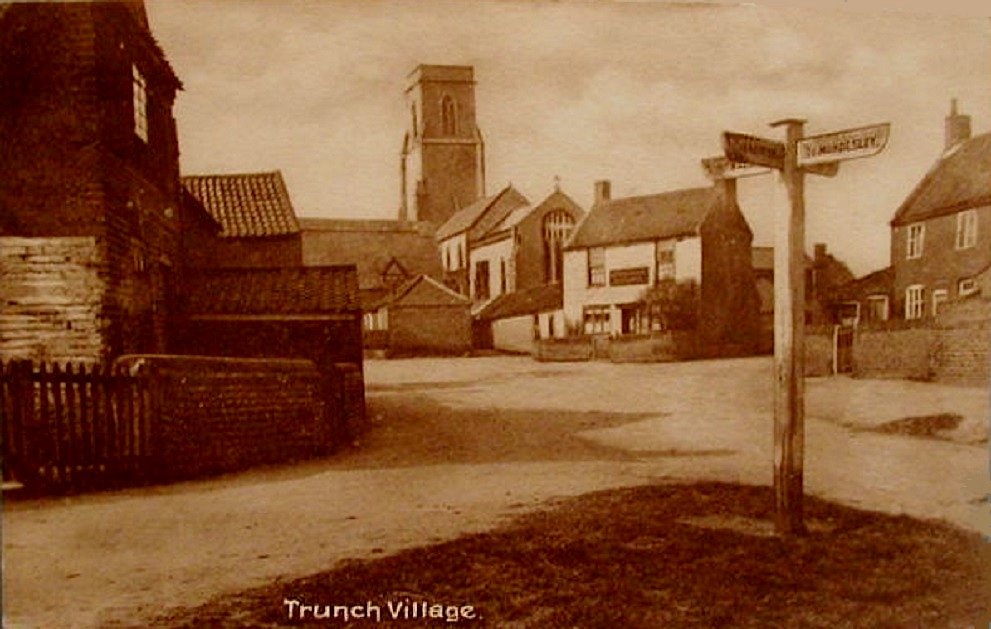
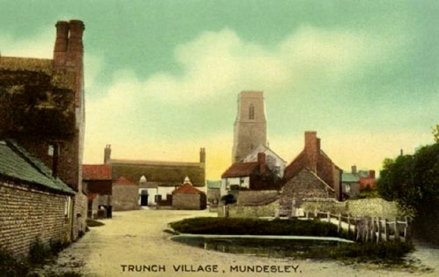
Looking towards Church and Shambles
|
Another view from the pond
|
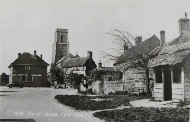
View from the Hill after the present Crown was built in 1953
|
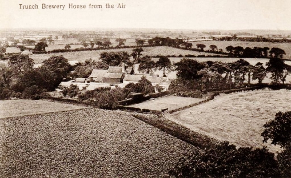
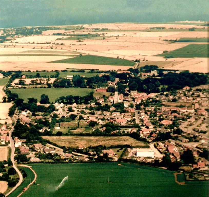
An old view of Trunch Brewery from the air
|
|
|
OLD MAPS
The best sites that I have found are:
Fadens map site This is a 1797 map of all of Norfolk but you can zoom into Trunch. It was not 100% accurate but you can see familiar road layouts (with a few changes), the old Manor, Miller's Farm, White or Ivy House, cottages around the church and in Brewery Road. No woodlands, commons or windmills are marked in Trunch, but they can be seen in neighbouring parishes.
Norfolk map explorer where you have free access to the Tithe map 1839, the First edition OS map 1879-1886 and a 1946 and a 1988 aerial photograph.
Also the Ordnance Survey Old Maps site where there is the 2010 OS map and old maps from 1886, 1888, 1906, 1907, 1950, 1957, 1970 and 1972. You have to pay to see the maps enlarged or you can buy the maps by email or on paper.
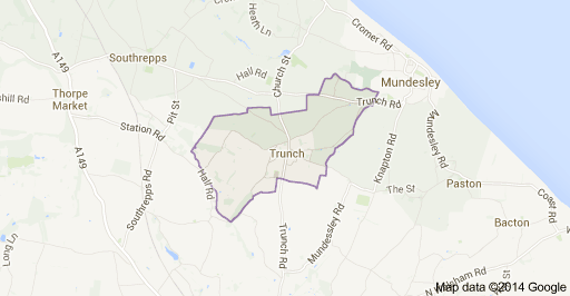
Trunch parish boundary
